November 9, 2022
Location: Quezon City and Vientiane
It is estimated that 40% of the world’s known tropical peatlands and roughly 6% of the entire extent of global peatland resource are found in Southeast Asia, covering an estimated area of 23 million hectares. These peatlands are valuable ecosystems, critical for preserving biodiversity and storing carbon. Drainage and unsustainable management practices have made peatlands vulnerable to fire, which then creates toxic smoke in the region and that poses serious health hazards and emits tons of greenhouse gases. One of the main strategies to conserve peatlands is through mapping and monitoring. This enables experts and policy makers to locate where peatlands are (location and extension) and monitor changes in peatland condition, allowing for effective strategies and action on the ground to be in place in order to counter degradation and restoration intervention, if needed. Mapping peatlands also help countries to plan and better manage this carbon-rich ecosystem. Without accurate peat map at nationwide scale, managing peatlands would be cumbersome.
Among the methods to identify peatlands is through Geographic Information Systems (GIS) – a computer system for capturing, storing, checking, and displaying data on the Earth’s surface. In GIS, different satellite imageries that are sensitive to the bio-physical properties of peatlands can be integrated to map them and estimate their extension.
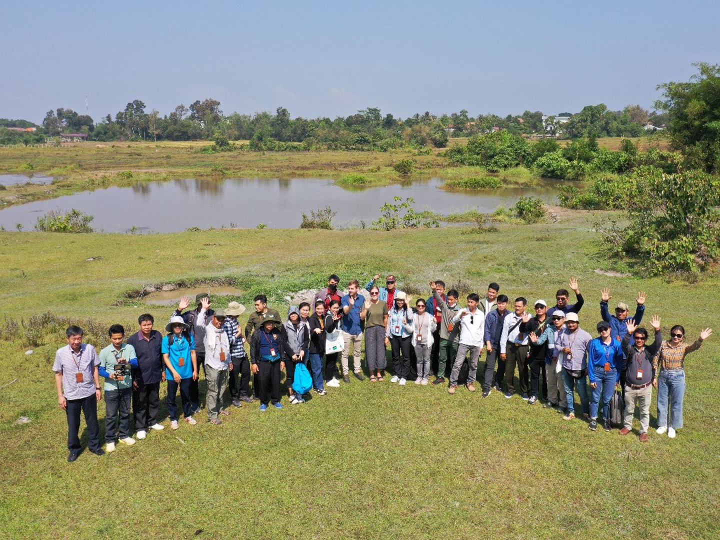
To ensure ASEAN Member States (AMS) have the knowledge and skill to map their peatlands, GIZ – SUPA Component 1 organised “GIS Training for Peatland Mapping” in the Philippines on 3-4 November 2022 and in Lao PDR on 7-9 November 2022, where technical experts from Cambodia, Thailand and Viet Nam also participated.
“The training aims to give the participants a better understanding of the method used for mapping potential peatlands nationwide in Lao PDR and the Philippines. We are using optical satellite imagery, radar data and a digital elevation model to identify peatlands by their typical hydro-ecological characteristics. The participants learned about the benefits and limitations of this remote sensing based approach and how to continue working with provided data,” said Werner Wiedemann, the trainer from Remote Sensing Solution.
The two-days training introduces the participants to the identification of suitable data sources, data collection, use of different thematic layers from different sources and methods how to process remote sensing data for the identification of potential peatlands. Part of training focused on the use of remote sensing software like eCognition for object-based image classification and GIS.
For the training in Lao PDR, a field trial was organised learn about image data acquisition using a drone, and to undertake further evaluation and interpretation process. The aim was to evaluate when and how drone data can complement conventional sampling methods as for example, in the case of inaccessible areas.
“The training is very engaging and hands-on practice sessions are very effective because we acquired new knowledge in basic Remote Sensing despite limited time. The trainers are very accommodating in answering the participants questions and despite of our limited time they manage to explain key details related to remote sensing analysis such as the different bands. and what are and how each of them can be interpreted to identifying peatlands and other important data,” said Jeffrey Jaymes Mesias, participant from Biodiversity Management Bureau (BMB) of the Republic of Philippines.
Share this


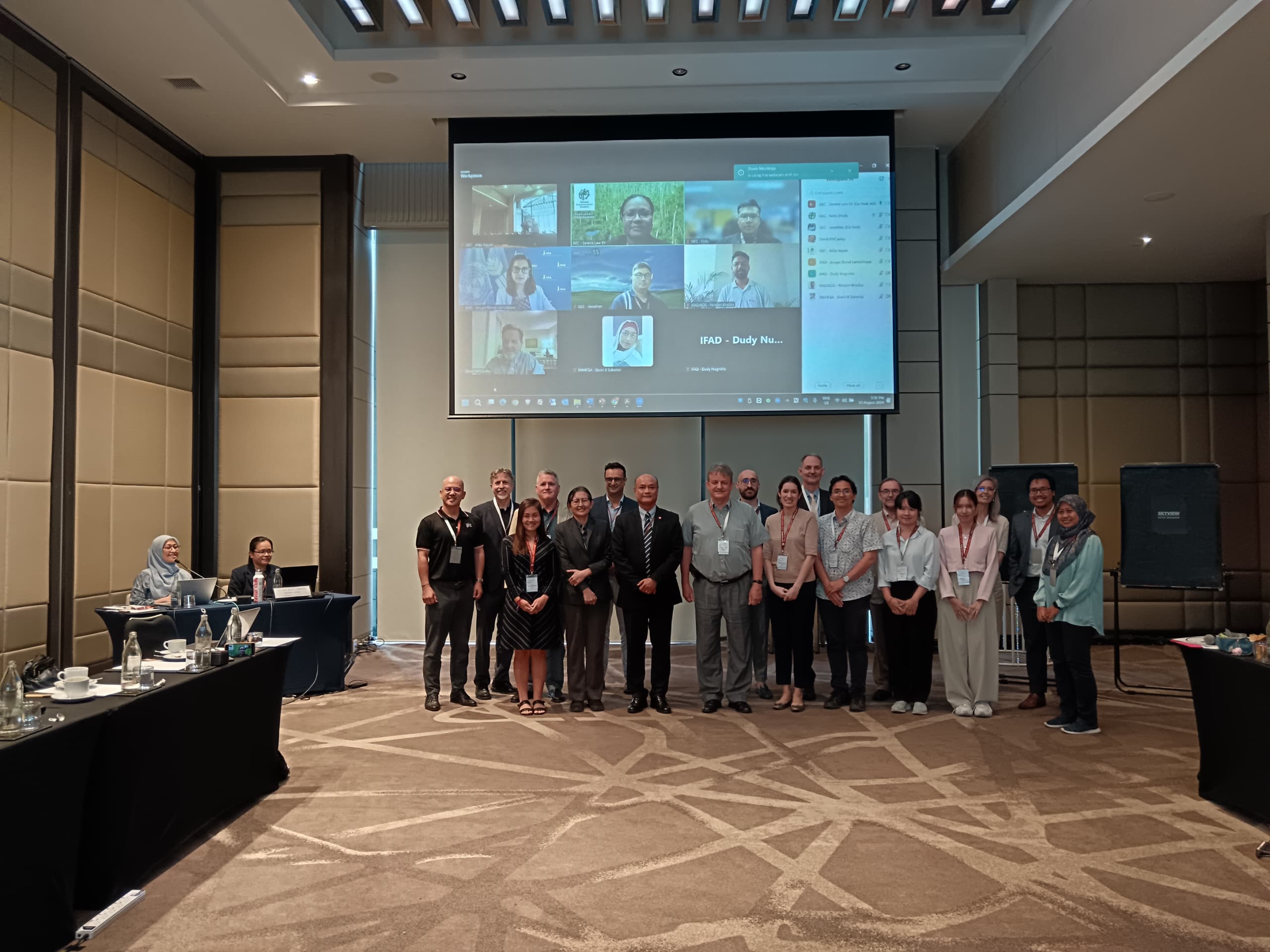
September 13, 2024
Location: Bangkok, Thailand
February 28, 2024
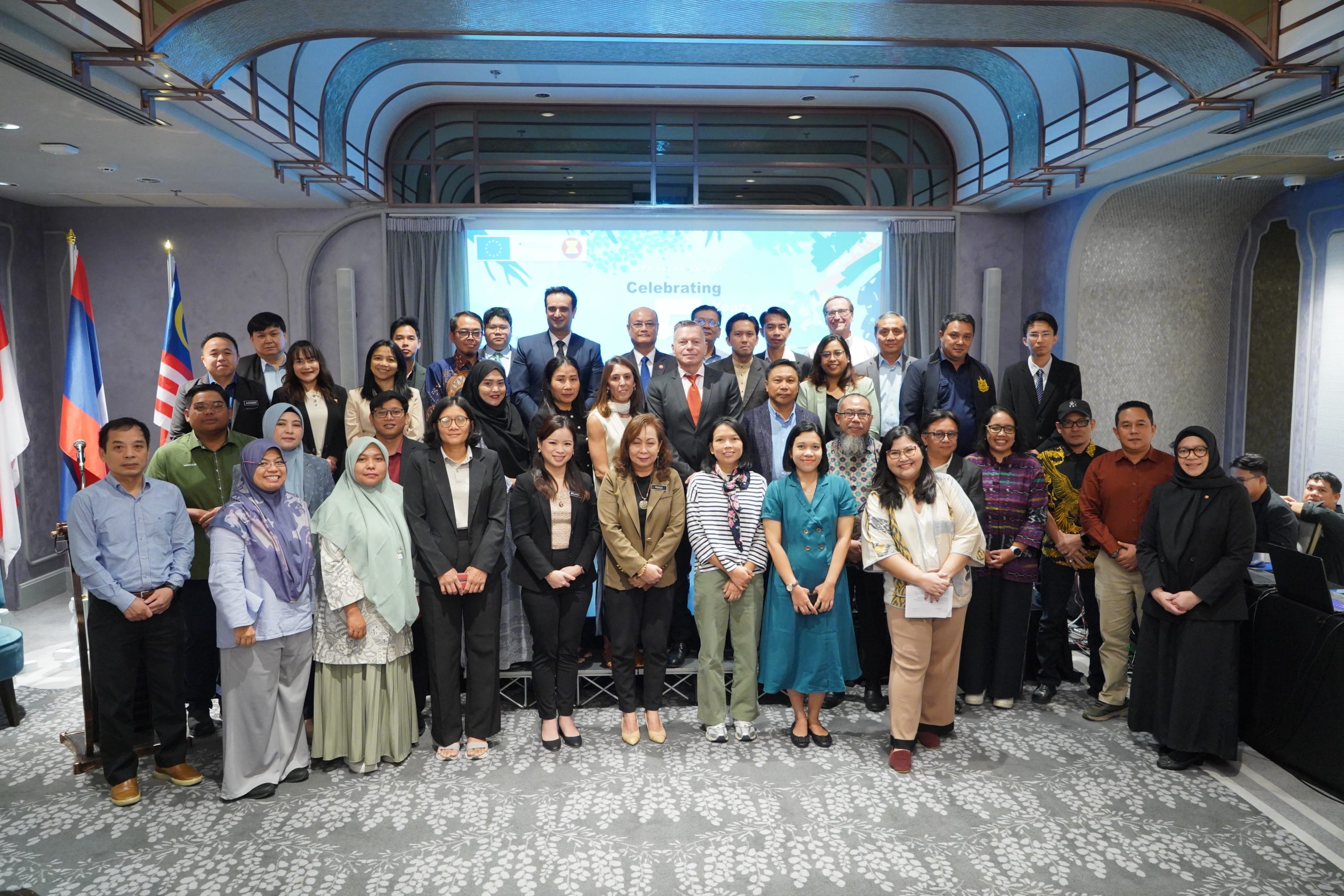
Location: Jakarta, Indonesia